There are photos of many of the places in these walks in our Tour of Tewin Album.
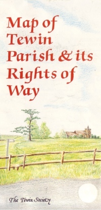
We can't do justice to the map on line, however here is a version of the map as a pdf (587 K).
Copies of the map can be purchased at Tewin Stores priced £3.50. The map shows all the numbered footpaths in Tewin.
This map was originally published for the Tewin Society by Patrick Holden, in 1991. Updated and republished by the Tewin Society in 2007.
It is based upon the 1935 Ordnance Survey Sheet 96 and the Rights of Way are reproduced with permission both of the Controller of her Majesty's Stationery Office © Crown Copyright, and Hertfordshire County Council from their 1988 1:10,000 Definitive Map and Definitive Statement as at June 1988, with additions to July 1989.
Cartography is by Dudley Drake with amendments and additions from the Tewin Society. Layout is by Terry Brand of Flairplan Ltd and the addition drawings are by Michael Clark and Terry Brand.
Thanks are also given to the Tewin Parish Council, the Countryside Mangement Services and the HCC Information Managenent Unit for their support.
Prior to the Tewin Society being wound up, the map was donated into the keeping of the Tewin Memorial Hall Committee. Profits from sales of the map are divided between Tewin Stores and the Memorial Hall.
The Tewin Society received a number of awards for its Rights of Way Network over the past 15 years, including Second Prize, nationally, out of 100 entrants, in the Esso Community Footpath 1992 Award Scheme, and the Shell Better Britain Campaign Grant for Footpaths and Pond in 1994, and the Environment Category for the Hertfordshire Village of the Year competition in 2001.


